Qalrakh
Gird-i Qalrakh
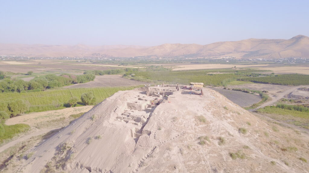
Qalrakh is located on the homonymous river in the north of the Shahrizor Plain. The steep mound rises about 26 m above the surrounding field. With an approximate diameter of 150 m of the mound, Qalrakh represents a rural site. Collected pottery from the surface rougly indicates an occupation at the site from the mid-third millennium BC until the early Islamic period.

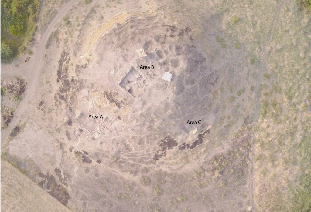
Research started in 2014 and continued in 2015–2017 and 2019 under the direction of Dirk Wicke. In 2014 and 2015, geophysics were applied to the mound and the immediate surrounding. In 2016, 2017 and 2019 small-scale excavation seasons were undertaken in three areas. A step trench along the southern flank was initialized (Area A) to obtain an overview of the chronological potential of the site. Structures of the Sasanian period were uncovered on top of Qalrakh (Area B). Here, early Sasanian remains of mud-brick buildings were found, which show living conditions in a small community. Further, in Area C a small test trench was excavated to explore the foot of the mound.

